
…HARVEY NEARING THE WINDWARD ISLANDS…
SUMMARY OF 1100 PM AST…0300 UTC…INFORMATION
———————————————–
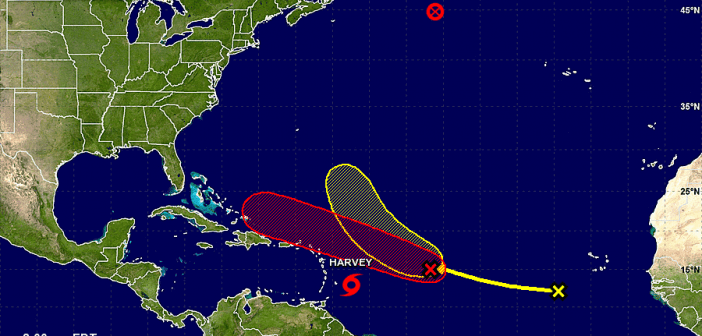
LOCATION…13.0N 57.4W
ABOUT 140 MI…230 KM E OF BARBADOS
ABOUT 250 MI…400 KM ESE OF ST. LUCIA
MAXIMUM SUSTAINED WINDS…40 MPH…65 KM/H
PRESENT MOVEMENT…W OR 270 DEGREES AT 18 MPH…30 KM/H
MINIMUM CENTRAL PRESSURE…1005 MB…29.68 INCHES
WATCHES AND WARNINGS
——————–
CHANGES WITH THIS ADVISORY:
None.
SUMMARY OF WATCHES AND WARNINGS IN EFFECT:
A Tropical Storm Warning is in effect for…
* Martinique
* St. Lucia
* Barbados
* St. Vincent and the Grenadines
A Tropical Storm Watch is in effect for…
* Dominica
A Tropical Storm Warning means that tropical storm conditions are
expected somewhere within the warning area, in this case within
12 to 24 hours.
A Tropical Storm Watch means that tropical storm conditions are
possible within the watch area, in this case within 12 to 24 hours.
For storm information specific to your area, please monitor
products issued by your national meteorological service.
DISCUSSION AND 48-HOUR OUTLOOK
——————————
At 1100 PM AST (0300 UTC), the center of Tropical Storm Harvey was
located near latitude 13.0 North, longitude 57.4 West. Harvey is
moving toward the west near 18 mph (30 km/h), and a continued
westward motion with a slight increase in forward speed is expected
over the next couple of days. On the forecast track, Harvey should
move through the Windward Islands and into the eastern Caribbean Sea
on Friday.
Maximum sustained winds are near 40 mph (65 km/h) with higher gusts.
Slow strengthening is possible during the next 48 hours.
Tropical-storm-force winds extend outward up to 60 miles (95 km)
from the center.
The estimated minimum central pressure is 1005 mb (29.68 inches).
![]()
